This article contains advertising. Our booking links are routed through a partner that adds commission tracking automatically, so if you book through one we earn a commission from the provider, at no extra cost to you. It never affects what we recommend. Affiliate disclosure
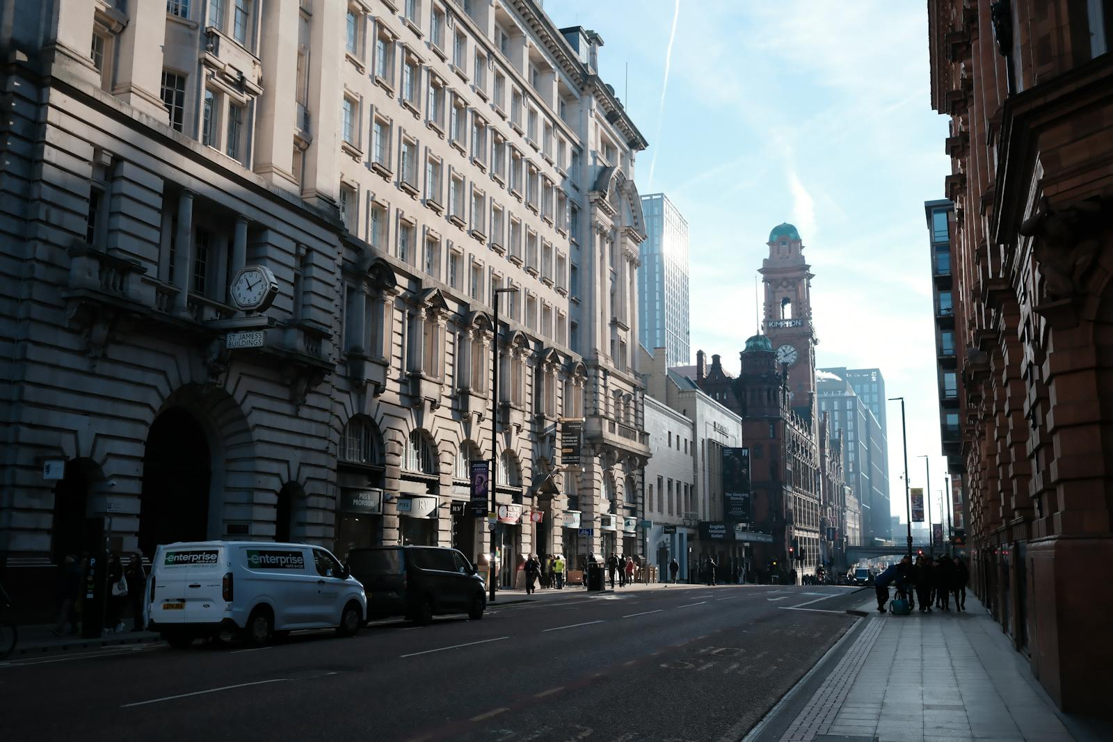
If you’re wondering is Manchester walkable, the short answer is a confident yes. The city centre measures roughly 1.5 km × 1.5 km, meaning almost every visitor attraction sits within a 25-minute walk of any other. Time Out’s 2026 ranking placed Manchester among the most walkable cities in the world — and with pedestrianised shopping streets, traffic-calmed quarters like the Northern Quarter and Castlefield, two free city-centre bus circulators, and a flat topography (no Edinburgh-style hills), Manchester is consistently rated one of the most walkable major UK cities. This 2026 guide covers exactly how walkable Manchester is, precise walking times between key spots, themed self-guided routes, accessibility for wheelchairs and prams, wet-weather routes using arcades, and night-time safety by neighbourhood.
Why Manchester Is So Walkable
Manchester evolved as the world’s first industrial city in a compact area along the Irwell, Medlock and Irk rivers, which means its historic core packs an extraordinary amount of culture, food, retail, and nightlife into a small footprint. The central core (inside the inner ring road) is around 1.5 km², with around 90% of named tourist attractions accessible on foot. There are no major hills, no rivers without bridges, and very few traffic-dominated streets in the central retail area. Time Out’s 2026 most-walkable-cities-in-the-world ranking placed Manchester in the global top twenty — high praise alongside Edinburgh, York, and central London.
Walking Times Between Manchester Hotspots
All times below assume a relaxed 5 km/h (3 mph) tourist pace. Distances are measured along the actual walking route, not as the crow flies.
| From | To | Walk Time | Distance |
|---|---|---|---|
| Piccadilly Station | Northern Quarter (Stevenson Sq) | 8 min | 0.4 mi / 0.65 km |
| Piccadilly Station | Piccadilly Gardens | 6 min | 0.3 mi / 0.5 km |
| Piccadilly Station | St Peter’s Square | 10 min | 0.6 mi / 1.0 km |
| Piccadilly Station | Spinningfields (Hardman Sq) | 22 min | 1.0 mi / 1.6 km |
| Piccadilly Station | Castlefield Roman fort | 25 min | 1.2 mi / 1.9 km |
| Piccadilly Station | Cathedral / Shambles Sq | 15 min | 0.7 mi / 1.1 km |
| Piccadilly Station | Victoria Station | 18 min | 0.9 mi / 1.45 km |
| Piccadilly Station | Manchester Museum (Oxford Rd) | 25 min | 1.2 mi / 1.9 km |
| Piccadilly Station | Etihad Stadium | 28 min | 1.4 mi / 2.25 km |
| Piccadilly Station | Curry Mile (Rusholme) | 38 min | 1.8 mi / 2.9 km |
| Piccadilly Station | Old Trafford stadium | ~60 min | 3.0 mi / 4.8 km (tram recommended) |
| Piccadilly Station | Salford Quays / MediaCityUK | ~70 min | 3.5 mi / 5.6 km (tram recommended) |
| St Peter’s Square | John Rylands Library | 9 min | 0.4 mi / 0.65 km |
| St Peter’s Square | Spinningfields | 6 min | 0.3 mi / 0.5 km |
| Northern Quarter | Ancoats (Cutting Room Sq) | 5 min | 0.3 mi / 0.4 km |
| Cathedral | Chinatown arch | 13 min | 0.6 mi / 1.0 km |
Best Walking Routes in Manchester
1. The Civic Heart: Piccadilly Gardens to Castlefield (~45 min, 1.7 mi)
Start at Piccadilly Gardens, walk west along Market Street (pedestrianised), pause at the Royal Exchange and Manchester Cathedral, cross to Deansgate and follow it south past John Rylands Library, Spinningfields and the People’s History Museum, finishing at Castlefield’s restored Victorian canal basin. The full route is around 1.7 miles and packs in most of Manchester’s headline architecture and history.
2. The Creative Loop: Northern Quarter + Ancoats (~50 min, 2.5 km)
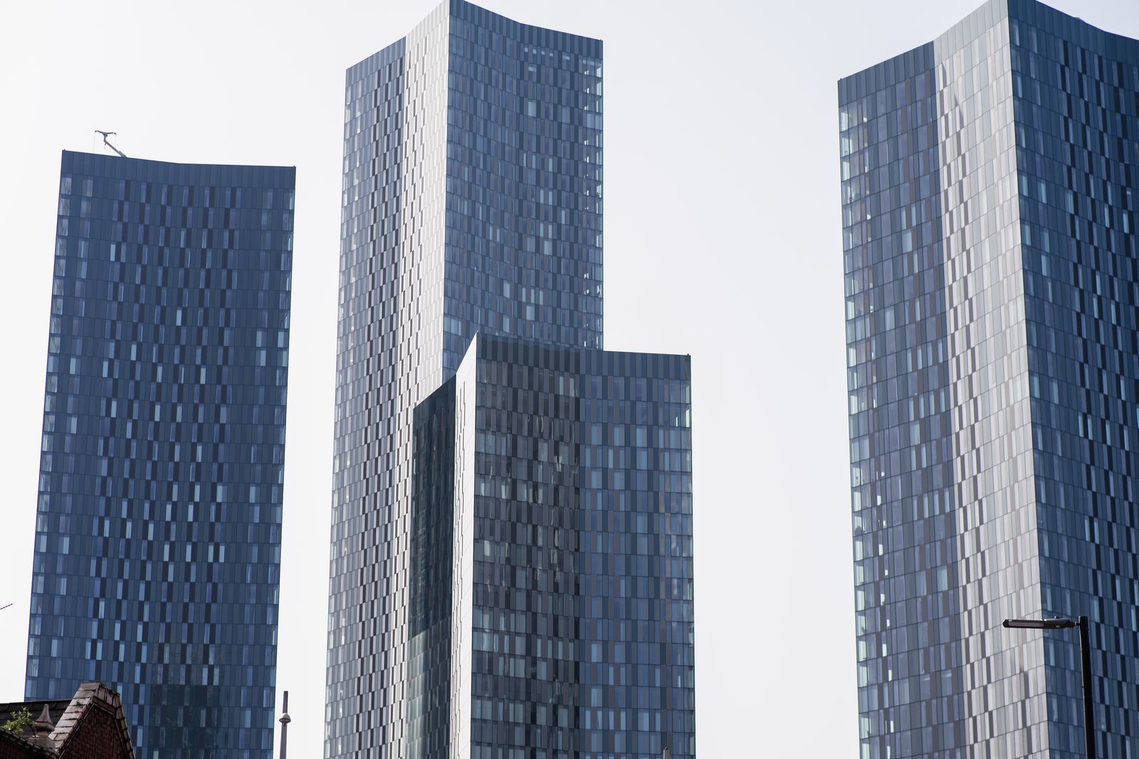
From Piccadilly Gardens, head north along Oldham Street into the Northern Quarter, then east on Hilton Street to Stevenson Square, north to Affleck’s Palace, then continue east into Ancoats via Great Ancoats Street. Loop back along Cutting Room Square and Cotton Field Park. The route is packed with street art, indie coffee shops, and Michelin-starred restaurants like Mana and erst.
3. The Canal Towpath: Castlefield to Salford Quays (~1 hour, 4 km)
Walk along the Bridgewater Canal from Castlefield basin, past the Roman fort, beneath the Deansgate viaducts, and onwards as far as Salford Quays. Almost entirely traffic-free, this is the best walking route for views of Manchester’s railway heritage and Victorian engineering. The towpath is well-lit until early evening but dimmer after dark — best done in daylight.
4. Civic & Cultural: St Peter’s Square Museum Walk (~1 hour, 1.5 km)
An indoors-friendly half-day route. Start at Manchester Central Library (St Peter’s Square), walk to Manchester Art Gallery (5 minutes), cross to the Town Hall, then north up to the Royal Exchange, north-west to the Cathedral, and finish at Chetham’s Library. Perfect when Manchester weather turns wet — much of the route passes under covered arcades.
Themed Self-Guided Walking Routes
Music Heritage Walk (~90 min)
Manchester is the spiritual home of The Smiths, Joy Division, New Order, Oasis, The Stone Roses, Happy Mondays and dozens of others. The walking route: start at the Lesser Free Trade Hall on Peter Street (where the Sex Pistols played their 1976 gig that legend says spawned every Manchester band that came after), walk to the former Hacienda site on Whitworth Street West (now apartments, but with a commemorative plaque), continue to the Salford Lads Club on Coronation Street (the famous Smiths photo location), and finish at the Northern Quarter’s Affleck’s Palace and Eastern Bloc Records.
Suffragette Trail (~45 min)
Begin at the Emmeline Pankhurst statue in St Peter’s Square (the only memorial to a 20th-century woman in central Manchester), walk to the Free Trade Hall (now the Edwardian Manchester Hotel) where the suffragette movement formally began, and finish at the Pankhurst Centre — the family home turned museum at 60-62 Nelson Street near the Manchester Royal Infirmary.
Industrial Revolution Canal Walk (~70 min)
The world’s first industrial revolution started on these streets. Start at Castlefield Basin where the Bridgewater Canal terminates, walk along the Rochdale Canal towpath through Deansgate Locks and the Gay Village, and finish at the converted cotton mills of Ancoats. The Science & Industry Museum at the start makes a perfect prelude.
Rainbow Mosaic LGBT Trail (~60 min)
17 rainbow mosaics installed around the city centre tell stories from Manchester’s LGBT+ history. The trail starts at Sackville Gardens in the Gay Village (with its Alan Turing memorial), winds through Canal Street, Princess Street and Whitworth Street, and ends at the Manchester Cathedral. Free leaflet maps are available from the Visit Manchester Information Centre.
Football Pilgrim Walk (~2 hours, 6.5 mi)
For die-hard football fans only: walk from Old Trafford (Manchester United) to the Etihad (Manchester City), taking in the Bridgewater Canal, the National Football Museum (small detour), and the city’s central squares. Allow most of a day to factor in stadium stops and refreshments.
Manchester Walking Tours (Guided)
If you’d prefer a guide, several free and paid walking tours leave daily from the Royal Exchange or Town Hall:
- Free Walking Tour Manchester: 2-hour history overview, daily at 11am and 2pm — tip-based.
- Manchester Music Tour: 90 min covering Joy Division, Oasis, The Smiths sites.
- New Manchester Walks: themed paid tours (industrial history, suffragettes, ghost walks, Peterloo) at £10-£15.
- GuruWalk / Strawberry Tours: tip-based alternatives.
- GPSmyCity audio tours: 25+ self-guided audio tours, £3-£8.
Walk + Free Bus Hybrid Itineraries
Manchester runs two genuinely free city-centre bus routes that complement walking brilliantly. Route 1 connects Piccadilly Station, Piccadilly Gardens, King Street and Deansgate Station; Route 2 links Piccadilly Gardens, Shudehill, Victoria Station and the Cathedral. Both run every ~10 minutes Mon-Sat until 10pm.
The smart move on a long day: walk out (downhill, fresh legs, in the morning sun), then catch a free bus back. A classic itinerary: walk from Piccadilly to Castlefield via Spinningfields (90 minutes with stops), then catch the free Route 1 from Deansgate back to Piccadilly. Total cost: nothing.
Walking After Dark in Manchester
The Manchester city centre is generally safe to walk in until late evening, with busy nightlife along Deansgate, the Gay Village, Spinningfields, Peter Street and the Northern Quarter. Standard urban precautions apply: stick to lit, populated streets, keep valuables out of view, and watch for pickpocketing in concert and match crowds. A neighbourhood-by-neighbourhood look:
Always Busy & Safe (until very late)
- Spinningfields: bars and restaurants well-lit and busy until 2am at weekends.
- Deansgate Locks: riverside bar strip, busy and well-lit.
- Northern Quarter main drag (Oldham St, Tib St, Stevenson Sq): well-frequented; quieter back alleys can be patchy.
- Gay Village / Canal Street: high footfall, doormen, marshalled cab ranks.
- Oxford Road corridor (between the Palace Theatre and the Whitworth): well-lit, busy with students.
Fine Until 11pm, Take a Taxi After
- Piccadilly Gardens: busy daytime, can attract street drinking late at night.
- Edge of the Northern Quarter into Ancoats: well-developed but quieter side streets.
- Stevenson Square late at night: bars open until 4am; surrounding alleys quieter.
Avoid Walking Alone After Dark
- Whitworth Park after dark (university student warnings).
- Ardwick Green and the wider Ardwick area.
- Isolated canal towpath stretches south of Castlefield.
Black-cab ranks at Piccadilly Station, St Peter’s Square, Deansgate, Piccadilly Gardens and Canal Street operate 24/7. Uber/Bolt cover the rest of the city centre with sub-5-minute waits even at 3am.
Walking in Manchester Weather: Wet-Weather Routes
Manchester’s reputation for rain is partly deserved — the city sees rain on around 150 days a year, though total annual rainfall (around 850 mm) is lower than many UK cities and the rain tends to come in short bursts. Pack a compact umbrella, waterproof shoes, and layer up. Temperatures range from 1-7°C in January to 12-21°C in July.

Stayed dry along this route on a typical Manchester drizzle day:
- Manchester Central Library to Manchester Art Gallery (covered via Library)
- Royal Exchange → Barton Arcade (Victorian glazed arcade)
- Arndale Centre (1km+ of indoor mall)
- Corn Exchange / Cathedral Gates (covered shopping)
- Selfridges → Harvey Nichols (covered Exchange Square)
- St Ann’s Square arcades
- Manchester Cathedral and Chetham’s Library
Many of Manchester’s best walks pass under arcades, viaducts and the covered walkways of Spinningfields and Exchange Square, so a sudden shower rarely derails a day’s sightseeing.
Accessibility & Cobble-Avoidance Routes
Manchester’s flat topography is a real advantage for wheelchair users, those with mobility issues, and families with prams. Almost the entire city centre is step-free at street level, with dropped kerbs at every junction and tactile paving at major crossings.
Cobbled Streets to Avoid with Wheels
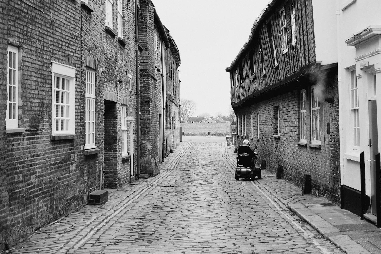
- Castlefield basin viaduct streets: historic setts and cobbles; smooth alternative via Liverpool Road.
- Shambles Square (near the Cathedral): traditional cobbles; smoother routes via Deansgate.
- Stevenson Square (NQ): partial cobbles; main NQ corridor along Tib Street is smoother.
- Alleys behind the Cathedral: Hanging Ditch and Cateaton Street have setts; main road alternatives exist.
- Tram tracks crossing pavements: Markets, Crossings on Mosley Street, Lower Mosley Street, and around Exchange Square — pop wheels straight over the rails to avoid catching.
Step-free with accessible toilets: Manchester Cathedral, the Town Hall, Manchester Art Gallery, The Whitworth, Manchester Museum, Manchester Central Library, John Rylands Library (north entrance), and most major hotels in the central core. The Bee Network app’s stop-finder shows accessibility info for every public-transport stop.
When to Skip Walking & Use Transport
- Salford Quays / MediaCityUK: Use the Metrolink Blue or Purple Line — the walk is long and lacks scenery for the final stretch.
- Old Trafford (United / Cricket): Tram from St Peter’s Square (Old Trafford or Wharfside stops) — faster and easier than the 60-minute walk.
- The Trafford Centre: Tram Purple Line — the walk is 6+ km along main roads.
- Etihad Stadium: Tram Pink Line — 28-minute walk from Piccadilly is possible but uninspiring.
- Heaton Park: Tram Yellow / Light Blue Line — it’s 6 km from the city centre.
- Manchester Airport: Train or tram — definitely don’t try to walk.
Manchester Walking Apps & Resources
- Google Maps: Reliable walking directions across the entire city.
- Bee Network app: Walking + tram integration with live tram arrivals.
- Citymapper: Combines walking with bus/tram options and shows calorie burn.
- GPSmyCity: 25+ self-guided audio walking tours of Manchester.
- Strava: Heatmaps showing the most popular running and walking routes in Manchester.
- Visit Manchester app: Curated themed walking routes with printable maps.
Frequently Asked Questions
Is Manchester safe to walk in at night?
Generally yes — busy areas like Deansgate, Spinningfields, the Northern Quarter, Gay Village and Peter Street are lively until late. Stick to well-lit main streets, avoid quiet canal towpaths alone, and take a taxi if you’re heading back to a quieter neighbourhood after midnight.
How long does it take to walk across Manchester city centre?
Edge to edge (Piccadilly to Castlefield) is around 25-30 minutes. Most named attractions cluster inside a 1.5 km square so journeys between them average 10-15 minutes.
How big is Manchester city centre?
The central core measures roughly 1.5 km × 1.5 km — a 30-minute walk corner to corner. About 90% of named visitor attractions sit inside this square.
Is Manchester walkable from the airport?
No — the airport is 9 miles south of the city. Always use the train, tram, bus 43, coach, or taxi.
Can I walk from Manchester city centre to Salford Quays?
Yes, in around 70 minutes via the canal towpath from Castlefield or along Chapel Street. The Metrolink Blue/Purple Line is faster and more comfortable.
Are Manchester streets accessible for wheelchairs?
Mostly yes. The city centre is flat with dropped kerbs and tactile paving. Cobbles in parts of the Northern Quarter, Shambles Square, and Castlefield can be tricky for small wheels — check routes in advance.
Can you walk from Manchester Piccadilly to the Northern Quarter?
Yes — Stevenson Square is 8 minutes away, and Affleck’s Palace is about 12 minutes.
How far is Old Trafford from Manchester city centre on foot?
About 3 miles (4.8 km), roughly an hour’s walk via the Bridgewater Canal. Most visitors take the tram (Green Line, ~15 minutes).
Are there free walking tours in Manchester?
Yes — Free Walking Tour Manchester runs tip-based tours daily from the Royal Exchange at 11am and 2pm. GuruWalk and Strawberry Tours run similar free tours.
What should I wear walking around Manchester?
Layers and a waterproof are essential year-round. Comfortable walking shoes — cobbled patches mean heels and very thin soles are uncomfortable. Pack a compact umbrella even in summer.
Plan the Rest of Your Manchester Trip
Pair this walking guide with our Manchester Metrolink tram guide for routes that go beyond walking distance, our Bee Network bus guide for the free city circulators, and our Manchester neighbourhoods guide for an area-by-area introduction to where to wander.
Walkability is exactly why the sightseeing bus is a harder sell here than in most cities — our hop-on hop-off bus tour guide costs the alternatives and says who should still book it.