
This article contains advertising. Our booking links are routed through a partner that adds commission tracking automatically, so if you book through one we earn a commission from the provider, at no extra cost to you. It never affects what we recommend. Affiliate disclosure
The single best thing about being a Mancunian who walks is that absolutely all the good stuff is within an hour. Genuinely Britain’s best urban canal path runs through the city centre. A flat 4-km loop around a Pennine reservoir is twenty minutes by tram. The classic Peak District ridge walk — the one with the flagstones over Mam Tor and the views across the Hope Valley — is a 50-minute train from Piccadilly, and you can finish it in a pub. Greater Manchester is not just a city in a flat northern bowl; it is a city with an extraordinarily varied walking landscape on its doorstep, and a working public-transport network that gets you to most of it without a car.
This guide is a working menu of the 20+ best walks within an hour of Manchester city centre, sorted by distance, difficulty, transport mode and what’s at the end (pub, café, view). Print it, screenshot it, or work through it weekend by weekend. For destination-led day trips into the hills, see our Peak District day trip guide and Hebden Bridge and Pennines guide.
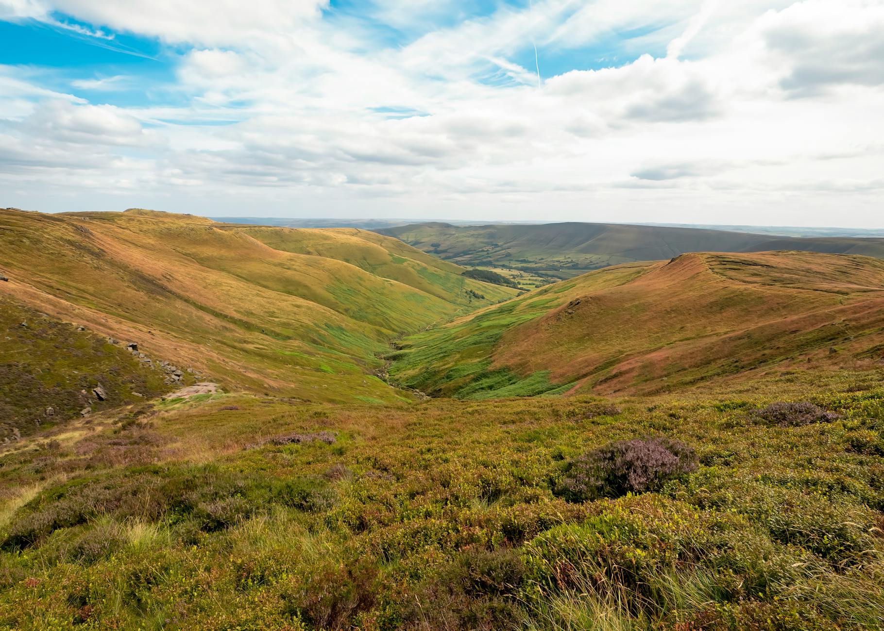
How to choose the right walk near Manchester
We’ve sorted the walks below three ways:
- By distance from city centre: under 30 minutes / 30–60 minutes / over an hour.
- By difficulty: easy and flat / moderate / challenging.
- By type: city/canal / suburban country park / National Trust deer park / Peak District peak / reservoir or moorland.
And we’ve flagged the obvious add-ons — dog-friendly, kids-friendly, pub at the end, wheelchair access, and (importantly) which walks you can do entirely by train or tram.
City and canal walks you can reach by tram
Castlefield Heritage Walk (city, 1.5 km, easy)
A small but proper bit of green inside the city. Castlefield is Britain’s first Urban Heritage Park, built around the remains of the Roman fort of Mamucium and the basins where the Bridgewater Canal terminates. Start at Deansgate-Castlefield tram stop, walk around the basins, under the new Castlefield Viaduct (the National Trust’s “sky park” reopened to the public in 2022), past the Roman fort wall reconstruction. Easy, paved, 30 minutes. Finish at Dukes 92 or The Wharf for a pint. Postcode M3 4LZ.
Bridgewater Way: Castlefield to Worsley (6–8 miles, easy)
The flattest, prettiest, most photogenic canal-side walk out of Manchester city centre. The Bridgewater Way follows the towpath of England’s first industrial canal (1761) west out of Castlefield, through the linear corridor of Old Trafford, Sale, Brookside, into the historic village of Worsley. Six miles to Worsley, about 2 hours; you can come back on the bus or extend along the canal further. Pub at the end: the brilliantly historic Worsley Old Hall (Tudor architecture, gastropub menu, beer garden). All flat, all towpath, suitable for prams and dogs on leads.
Heaton Park loop (4–9 km, easy)
Heaton Park is Manchester’s biggest municipal park (640 acres) and the largest in Greater Manchester. The short lakeside loop is 4 km; the full perimeter is 9 km. Hilly enough to feel like a workout, easy enough for buggies. Tram on the Bury line to Heaton Park stop puts you 5 minutes from the lake. Lakeside Café for coffee; the Ostrich Inn on the eastern edge for a pint. Postcode M25 2SW.
Chorlton and Sale Water Park / Mersey loop (7 miles, easy)
Tram to Chorlton stop, walk south to Chorlton Water Park, follow the Mersey east through Chorlton Ees and Ivy Green Nature Reserve, cross at Jackson’s Boat (the brilliantly named Bridge Inn), continue along the south bank into Sale Water Park, and complete the loop back via the tram at Sale Water Park stop. Seven miles, no climbing, kingfishers and herons throughout. 2025 note: the Bailey Bridge between Chorlton Water Park and Kenworthy Woods is closed indefinitely after damage in November 2024 — diversions are signed.
Country-park walks within Greater Manchester
Etherow Country Park (2–3.5 miles, easy)
One of Manchester’s quietest country parks, on the Stockport-Glossop border. A 2 km short loop around the small reservoir for families with kids; a 3.5-mile summer route extending up into the ancient woodland and the Etherow valley. Café on site. Train from Piccadilly to Romiley, 25-minute walk to the entrance. Postcode SK6 5JD.
Reddish Vale Country Park (3.5 km, easy)
The most genuinely picturesque country park in inner Greater Manchester. The 3.5 km loop runs alongside the River Tame with views up to the Victorian railway viaduct that frames the valley. Train to Reddish North or Reddish South. Family-friendly throughout. Postcode SK5 7HE.
Daisy Nook Country Park (6.4 km, easy)
On the Failsworth-Oldham border. The full circular loop is 6.4 km around the Crime Lake reservoir, with woodland, meadows, and the Hollinwood Branch Canal. Café and ranger centre on site. Bus from Oldham or Ashton. Postcode OL8 3HG.
Healey Dell Nature Reserve (2.1–4 miles, easy–moderate)
The Rochdale version: deep wooded gorge of the River Spodden, with a Victorian railway viaduct halfway round, the Heritage Tea Rooms in the old station building, and a waterfall after rain. Train to Rochdale, then bus or 30-minute walk. Postcode OL12 6BG.
Hollingworth Lake (2.5 miles loop, easy)
Known historically as the “Weighver’s Seaport” because the cotton workers of the Pennine valleys used to come here on Sundays in the 19th century when they couldn’t afford the real seaside. Today it’s a 2.5-mile flat loop around a Victorian reservoir, with three pubs, a café, and the start of a longer 6.8 km moorland extension if you want it. Train from Manchester Victoria on the Calder Valley line to Littleborough, 25-minute walk to the lake. Postcode OL15 0AQ.
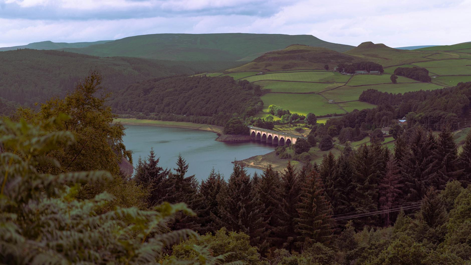
Stately home and deer park walks
Lyme Park — The Cage and Lantern circular (3–6.9 miles, easy–moderate)
Lyme Park (National Trust, Disley) is the closest large NT property to central Manchester. 1,359 acres of deer park with red and fallow deer roaming free, a Tudor-Palladian mansion (the exterior was Pemberley in the 1995 BBC Pride and Prejudice), 15 acres of formal gardens, and a network of trails. The classic family loop is 3 miles up to the Cage folly and back; the longer 6.9-mile route adds the Lantern folly and the deer sanctuary view. Train from Piccadilly to Disley (35 minutes), 15-minute walk to the entrance. Postcode SK12 2NR.
Dunham Massey — deer park circuit (~3 km, easy/wheelchair-friendly)
Slightly closer to Manchester, on the Altrincham edge. Dunham Massey (NT) is the most accessible of the deer parks — flat, surfaced paths, wheelchair-friendly, with a dog-friendly café (Stables Restaurant) on the way round. Metrolink to Altrincham, then a 30-minute walk through the park to the entrance. Postcode WA14 4SJ.
Peak District hikes by train from Manchester
The single biggest piece of luck for Manchester walkers is the Hope Valley Line. Hourly direct trains from Piccadilly into the Peak District, no car needed, OS map and pub at the end.
Mam Tor and the Great Ridge circular from Castleton (5.5 miles, moderate)
The classic Peak District ridge walk. Train Piccadilly → Hope (50 minutes). 272 bus or 1.5-mile walk into Castleton. Up Cave Dale, over Mam Tor, along the flagstone ridge to Hollins Cross, Back Tor and Lose Hill, drop down to Hope and the train. 5.5 miles, 400 m ascent, 3–4 hours, properly rewarding. Pub at the end: the Castle Inn or the Olde Nag’s Head in Castleton. Postcode for Mam Nick NT car park: S33 8WA.
Cave Dale and Castleton circular (2–5 miles, easy–moderate)
The shorter version. From Castleton village, walk up the dramatic limestone gorge of Cave Dale, across the open uplands above, and back down via a different valley. 2 miles for the short version, 5 miles for the extended route via Mam Tor. Quirky bit: the entrance to Cave Dale is a slot in the limestone right next to Peveril Castle. Train to Hope, bus to Castleton.
Kinder Scout via Jacob’s Ladder from Edale (8.5 miles, challenging)
The proper Peak District day hike. Train Piccadilly → Edale direct (44 minutes). Up Jacob’s Ladder (steep), along the Kinder plateau (boggy in winter, magnificent in summer), past Kinder Downfall (the waterfall that blows uphill in a westerly wind), down via Grindsbrook back to Edale. 8.5 miles, 480 m ascent, 5–6 hours, full hill kit needed. Pub at the end: the Old Nag’s Head (1577, southern terminus of the Pennine Way).
Stanage Edge from Hathersage (4.9–6 miles, moderate)
England’s most famous gritstone climbing edge. From Hathersage train station, walk up via Hathersage Booths to the southern end of Stanage Edge, follow the top of the escarpment north (with the climbers’ routes dropping away below you), descend via Stanage Pole. 4.9 miles short / 6+ miles full. Pub at the end: the Scotsmans Pack or the Plough Inn in Hathersage. Hathersage also has a heated outdoor lido with a winter sauna — combine the walk with a swim.
Dark Peak and Saddleworth (30–60 minutes)
Dovestone Reservoir circular (2.5 miles short / 4.2 miles Trinnacle / 12.8 miles Chew Valley)
Saddleworth’s headline walk. The short lake loop is 2.5 miles, flat, easy, dog-friendly, and stunning at sunset. The medium 4.2-mile loop adds the spectacular hike up to the Trinnacle — three gritstone pinnacles you can climb up between for the Instagram view. The serious 12.8-mile Chew Valley loop is a full day. Parking: £4.40 all day at the reservoir. Drive recommended; limited bus service. Pub afterwards: the Clarence Hotel in Greenfield. Postcode OL3 7NE.
Marsden Moor and Pule Hill circular (5 miles, moderate)
The most accessible-by-train Pennine moorland walk. Train from Piccadilly to Marsden on the Calder Valley line (30 minutes). 5-mile circular up Pule Hill, across the open moor with views down to the Standedge tunnels (where the Huddersfield Narrow Canal goes underground for 3 miles). Pub at the end: Riverhead Brewery Tap in Marsden.
West Pennines and Cheshire hills (45–75 minutes)
Rivington Pike (2–6 miles, moderate)
The short version is a 2-mile up-and-back to the 17th-century stone tower at the top of Rivington Pike (363 m), with views from Liverpool to the Pennines on a clear day. The longer 6-mile loop adds Winter Hill (the BBC transmitter you can see from much of the North-West) and the spooky stone gardens of the Lever Park terraced gardens. Train Manchester to Horwich Parkway, then taxi or 575 bus. Pub at the end: the Yew Tree Inn. Postcode BL6 7SB.
Tegg’s Nose Country Park (2.5–4.2 miles, moderate)
On the Cheshire side, above Macclesfield. The short 2.5-mile circular climbs to Tegg’s Nose for views across the Cheshire plain to Welsh hills. The 4.2-mile route extends through Macclesfield Forest. Train to Macclesfield (20 minutes from Piccadilly) then bus. Pub at the end: The Leather’s Smithy. Postcode SK11 0AP.
The Cloud, Bosley (2.5 miles, moderate)
The hidden Cheshire gem. The Cloud (343 m) sits on the Cheshire-Staffordshire border and the 2.5-mile circular from the Timbersbrook free car park is short, steep at the top, and rewards with the kind of 360-degree view you would expect from a much bigger hill. Drive only — about 1 hour from Manchester via Macclesfield. Pub at the end: the Horse Shoe Inn at Rushton Spencer. Postcode CW12 3PP.
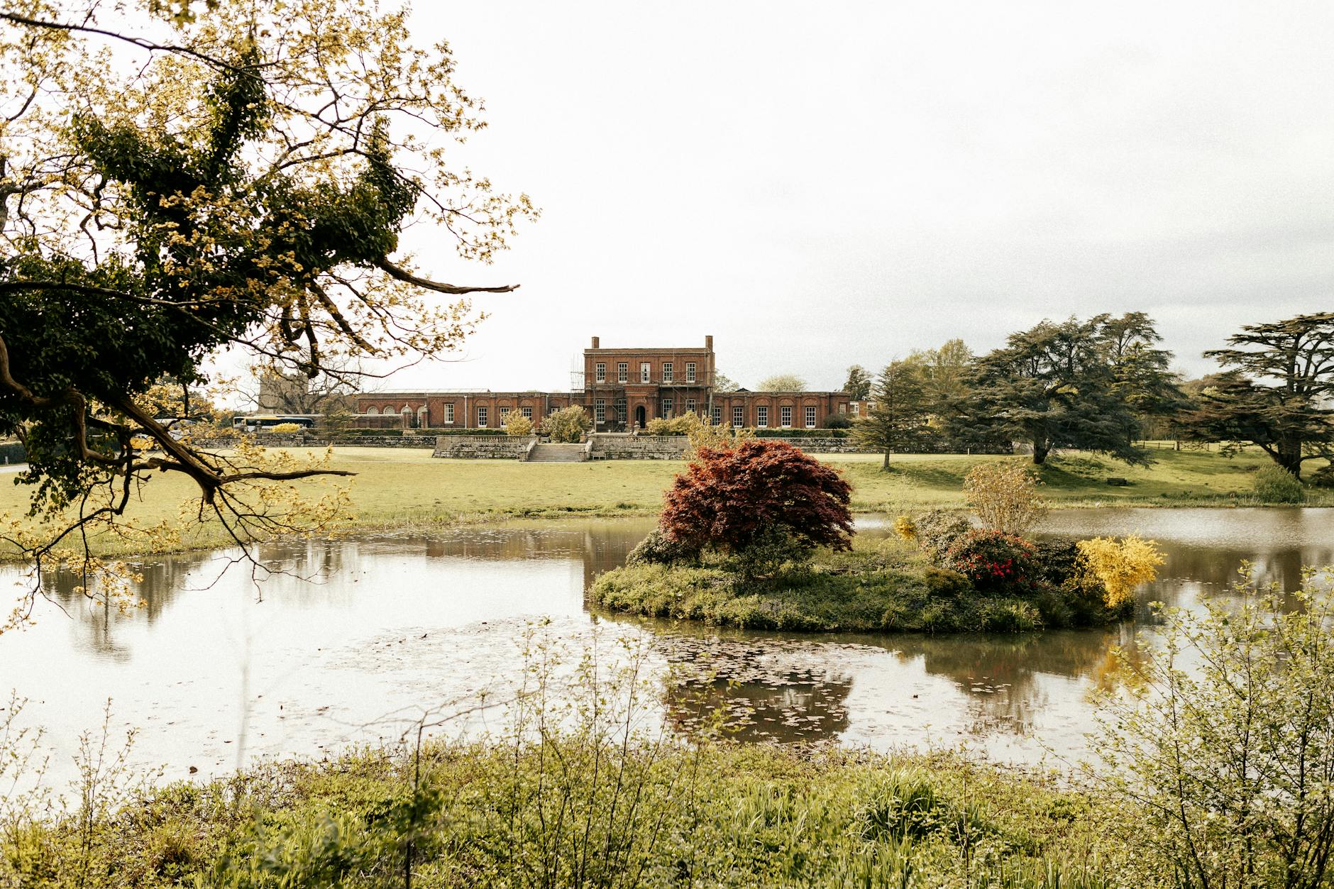
Bucket-list day-long hikes
The Roaches and Lud’s Church (7 miles, moderate–challenging)
Properly stunning Staffordshire moorland. The Roaches are a gritstone escarpment, Lud’s Church is a deep mossy chasm where the medieval poem Sir Gawain and the Green Knight may have been set. The 7-mile circular from the roadside parking on Roach Road takes 4 hours and includes both. Drive only — about 1 hour 15 from Manchester. Pub at the end: The Roaches Tea Rooms or onwards to the Crag Inn at Wildboarclough. Postcode ST13 8UD.
Buxton Spring Trail / Goyt Valley (4–10 miles, moderate)
Multiple circular options around the spa town of Buxton, including the lovely 5-mile Goyt Valley circular taking in Errwood and Fernilee reservoirs. Train Manchester to Buxton (1 hour). Pub finish: any number in Buxton itself, or the Cat and Fiddle Inn (England’s second-highest pub) if you’ve extended.
The best pub walks near Manchester
Pub-walk specials, where the walk and the pint are equally important:
- Worsley Old Hall circular — Bridgewater Way out, Tudor pub at the end.
- Ramsbottom and Holcombe Moor — Eagle & Child or Irwell Works Brewery.
- Rivington Pike circular — Yew Tree Inn.
- Edale Skyline ridge walk — Old Nag’s Head, Rambler Inn.
- Hathersage to Stanage Edge — Scotsmans Pack.
- Chorlton Water Park loop — Jackson’s Boat (Bridge Inn).
- Castleton via Cave Dale — Castle Inn or George Hotel.
Dog-friendly walks near Manchester
For dogs off-lead with care: Dovestone Reservoir (livestock around the edges so on-lead in places, off-lead on the upper paths), Heaton Park (designated dog areas), Sale Water Park and the Mersey path, Healey Dell, the Bridgewater Way towpath, Dunham Massey deer park (lead at all times near deer). For dogs on-lead only: Lyme Park (strict lead policy near deer), Hollingworth Lake.
Easy, family, and accessible walks
For prams, wheelchairs and adventurous toddlers: Castlefield (paved), Heaton Park (paved sections), Chorlton Water Park (lake loop is flat), Daisy Nook (mostly flat), Etherow short loop, Dovestone lake loop (with some uneven sections), Reddish Vale, Hollingworth Lake (good towpath), Bridgewater Way (the entire towpath is wheelchair-friendly), Dunham Massey deer park.
Walks you can do by train from Manchester
Tier 1 (under 30 minutes by train): Heaton Park (tram), Chorlton/Sale Water Park (tram), Etherow (Romiley), Reddish Vale (Reddish North/South), Dunham Massey (Altrincham tram + walk).
Tier 2 (30–60 minutes): Hollingworth Lake (Littleborough), Healey Dell (Rochdale), Lyme Park (Disley), Mam Tor and Castleton (Hope), Edale and Kinder Scout (Edale), Stanage Edge (Hathersage), Marsden Moor (Marsden), Tegg’s Nose (Macclesfield).
Tier 3 (60+ minutes): Buxton/Goyt Valley (Buxton), Rivington Pike (Horwich Parkway).

Practical tips: gear, weather, path closures (2025–2026)
What to wear
Even the easy walks need waterproof shoes. Manchester rainfall is famously enthusiastic. For anything moorland (Kinder, Stanage, Mam Tor, the Roaches), bring a proper waterproof, layers, water, food, and a paper OS map — phone signal is patchy on the tops. For the canals and country parks, trainers and a light layer are fine.
Weather
The Peak District weather can change in 20 minutes. Check the Met Office mountain forecast before any hill walk. Kinder Scout has caught out hundreds of underprepared walkers; Mountain Rescue handle dozens of preventable callouts each year.
2025–2026 path closures to know about
- Bailey Bridge at Chorlton Water Park — closed since November 2024 after storm damage. Connecting routes between Chorlton WP and Kenworthy Woods diverted.
- Dovedale stepping stones footpath in the White Peak — closed for erosion repair until 22 June 2026; diversion around Thorpe Cloud.
- Peak Forest Tramway Trail (Bugsworth to Whitehough) — intermittent gas-main closures through 2025–2026.
- Snake Pass A57 — partial weight restrictions and a full closure 15 June to 3 July 2026 — affects driving access to Ladybower/Castleton.
Always check the Peak District National Park trail closures page (peakdistrict.gov.uk/trail-closures) before relying on a specific route.
FAQ — walks near Manchester
What are the best walks in Greater Manchester?
Heaton Park (4 km tram-served loop), Sale Water Park / Chorlton (7-mile Mersey loop), Dovestone Reservoir (2.5–4 miles), Etherow Country Park (3.5 miles), Hollingworth Lake (2.5 miles).
What are easy walks near Manchester?
Flat and family-friendly: Chorlton Water Park lake loop, Bridgewater Way at Worsley, Heaton Park lakeside, Daisy Nook (6.4 km), Castlefield (1.5 km), Dunham Massey deer park.
What are the best hikes from Manchester?
Mam Tor circular (5.5 miles, moderate, Hope Valley train), Kinder Scout from Edale (8.5 miles, challenging), Stanage Edge from Hathersage (~6 miles, moderate), The Roaches and Lud’s Church (7 miles, moderate-challenging).
What are the best dog-friendly walks near Manchester?
Dovestone Reservoir (livestock-aware), Tatton Park, Dunham Massey, Heaton Park, the Bridgewater Way towpath, Healey Dell, Sale Water Park. Lyme Park has strict lead rules near deer.
What are the best pub walks near Manchester?
Worsley Old Hall circular (Bridgewater Way), Ramsbottom and Holcombe Moor (Eagle & Child), Rivington Pike (Yew Tree Inn), Castleton circular (Castle Inn), Hathersage and Stanage (Scotsmans Pack).
What are circular walks near Manchester?
Cave Dale and Mam Tor from Castleton (5 miles), Lyme Park to The Cage (3 miles), Tegg’s Nose and Macclesfield Forest (4.2 miles), Marsden Moor / Pule Hill (5 miles from station), The Cloud at Bosley (2.5 miles).
How do I get to the Peak District from Manchester without a car?
Hope Valley Line from Piccadilly (40 minutes to Edale, 50 to Hope, 55 to Hathersage). The Calder Valley Line gets you to Marsden. The Bolton line via Horwich Parkway accesses Rivington. The seasonal Peak Sightseer open-top bus links the Hope Valley villages.
What’s the closest hike to Manchester?
Chorlton Ees and Sale Water Park (25-minute drive, tram-served), Heaton Park (tram), Reddish Vale (3 miles from Stockport), Daisy Nook (Oldham edge).
Are there waterfall walks near Manchester?
Healey Dell (Rochdale, viaduct + waterfall after rain), Greenfield Waterfall at Dovestone (on the Trinnacle route), Cave Dale flows after rain, Kinder Downfall at Kinder Scout when the wind is right.
Plan more of your Manchester visit
For destination-led day trips into the hills, our Peak District day trip guide covers the bigger Castleton/Edale/Bakewell options, our Hebden Bridge and Pennines guide covers the West Yorkshire side, and our Lake District day trip guide covers the day-stretch north to Windermere. For more relaxed days, the Tatton Park and Cheshire guide is the country-park version. See the day trips from Manchester hub for the full picture.